School of Life Sciences - Mysuru
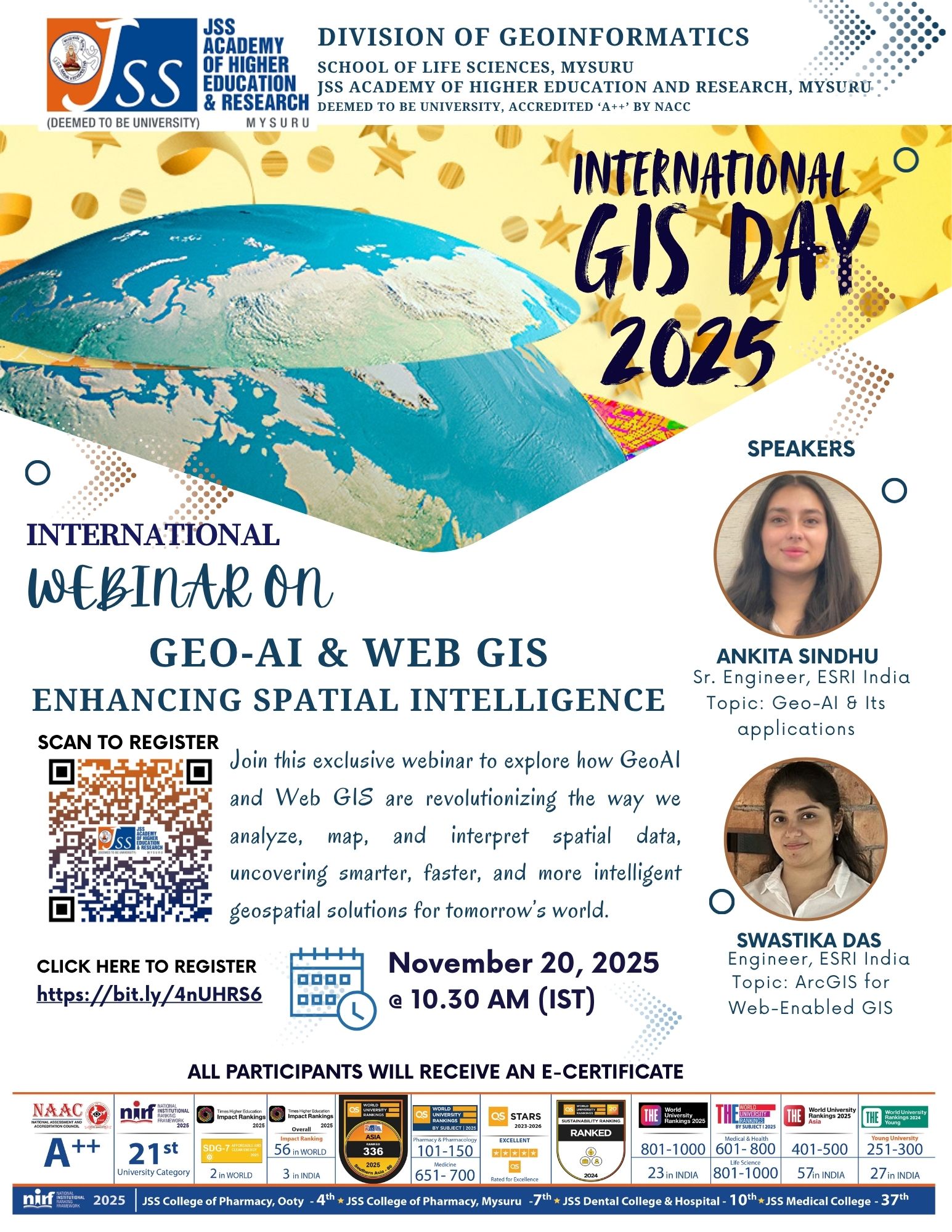
International Webinar on GeoAI & WebGIS - Enhancing spatial intelligence organized by Division of Geoinformatics on the occasion of GIS Day 2025

The International Webinar on GeoAI and WebGIS – Enhancing Spatial Intelligence explored the growing influence of artificial intelligence and cloud-based GIS in modern geospatial workflows. The Geo-AI session introduced AI-driven automation, predictive analytics, and advanced geospatial data processing, supported by relevant real-world examples. The Web GIS session highlighted cloud-enabled mapping, scalable data sharing, and collaborative platforms using ArcGIS tools. With strong attendance and highly positive feedback, both sessions effectively expanded participants’ understanding of emerging geospatial technologies, reinforcing the importance of GeoAI and Web GIS in research, planning, and professional applications across diverse sectors.
Read More